Hurricane Lowell is approaching the Hawaiian Islands, with dangerous conditions expected across Kauai County and Niihau as the storm moves north-northeast toward the islands.
According to the latest advisory from the National Weather Service’s Central Pacific Hurricane Center, issued Monday evening (September 7), the hurricane was located about 170 miles southwest of Lihue, Kauai, with maximum sustained winds of 110 mph and higher gusts. The hurricane was moving north-northeast at 18 mph.
The storm’s core is forecast to pass near or just west of Niihau on Monday night and early Tuesday. Hurricane conditions are expected across Kauai County beginning Monday evening, while tropical storm conditions are expected on Oahu.
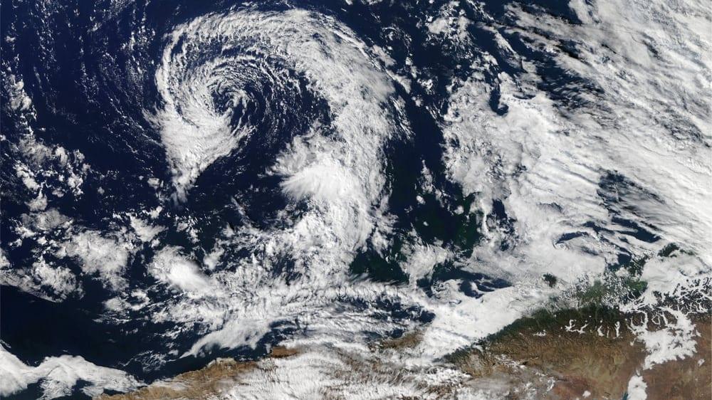 Hurricane. Photo: Shutterstock
A Hurricane Warning remains in effect for Kauai County, including Kauai and Niihau, as well as the Papahanaumokuakea Marine National Monument from Nihoa to French Frigate Shoals.
Heavy Rain and Flash Flooding Threaten Hawaii
Rainfall is expected to become more widespread across the Hawaiian Islands as Lowell moves through the region.
Kauai could receive an additional 4 to 8 inches of rain, with isolated storm totals reaching 24 inches. The Big Island could see another 3 to 8 inches, with isolated totals of up to 12 inches. Oahu and Maui County are forecast to receive 2 to 5 inches, with some areas potentially reaching 10 inches.
The rainfall could trigger significant flash flooding and mudslides, particularly on Kauai and parts of the Big Island.
Coastal areas also face a serious threat. Storm surge could raise water levels by 2 to 4 feet in parts of Kauai County, with the highest values expected along the south coast of Kauai and Niihau. Oahu could see up to 1 foot of storm surge.
Large and destructive waves are expected near the coast, while dangerous surf and rip currents could affect many of the Hawaiian Islands for several days.
Hurricane Force Winds and Tornado Risk
Lowell’s hurricane force winds extend up to 70 miles from the center, while tropical storm force winds reach as far as 175 miles.
The National Weather Service is also warning that winds across hills and mountains can be significantly stronger than near the surface. Lihue Airport on Kauai had already reported sustained winds of 38 mph with a gust reaching 49 mph.
Several tornadoes are possible around Kauai and Niihau from Monday evening through the overnight hours, with additional tornadoes possible elsewhere across Hawaii.
Forecasters expect Lowell to weaken over the coming days, although it is forecast to remain a hurricane while passing near the Hawaiian Islands. The storm is expected to turn northwest and slow down by early Wednesday after moving past the islands.
Residents and visitors in affected areas are being urged to closely monitor local weather warnings and follow instructions from emergency officials as the storm approaches.