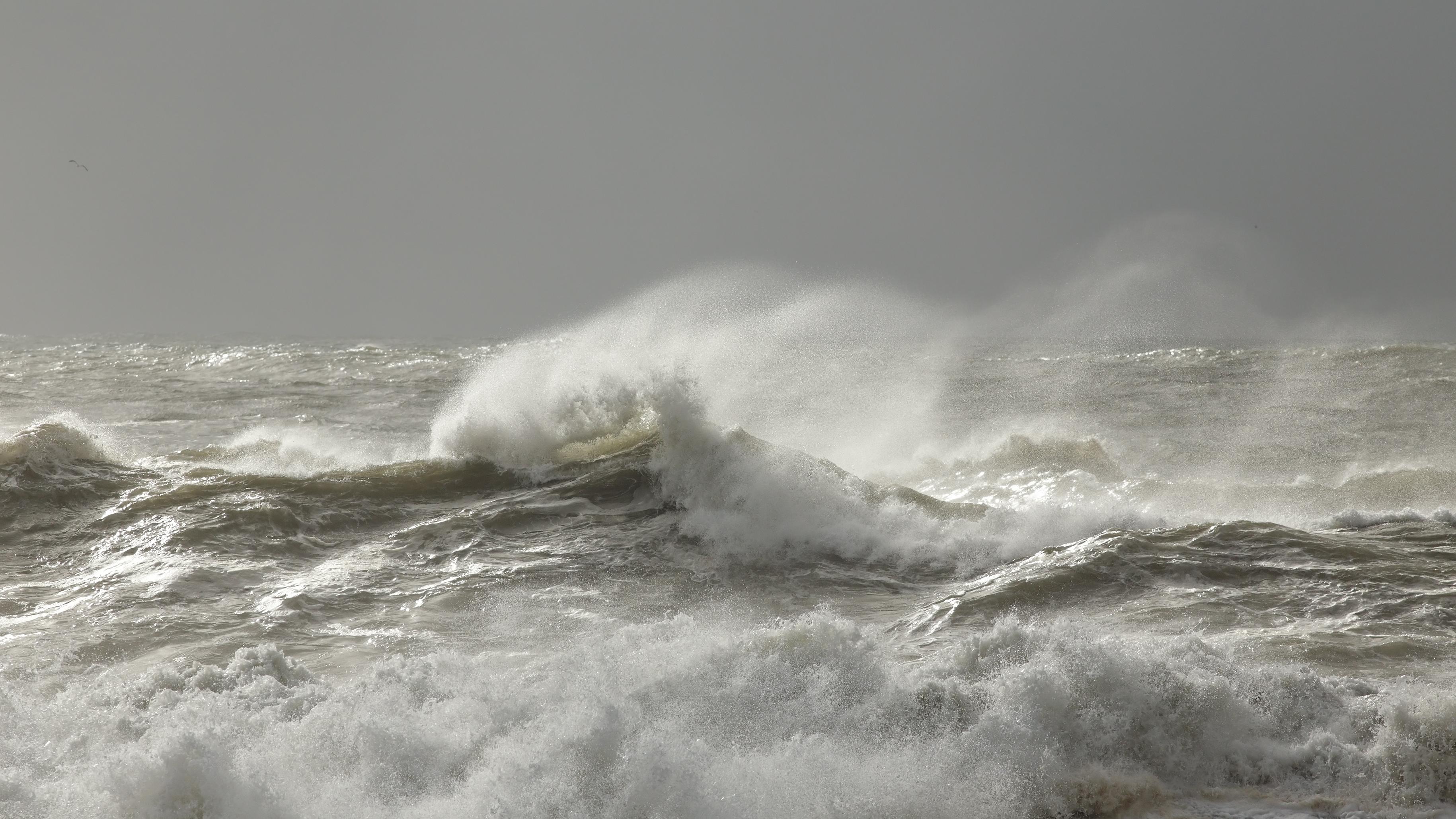
Taiwan's Central Weather Administration (CWA) has today, July 9, 2026, issued Sea Typhoon Warning No. 2 for Typhoon Bavi as the powerful storm continues moving toward waters northeast of Taiwan, prompting authorities to prepare for dangerous marine conditions and heavy rainfall.
According to the CWA's latest advisory issued at 5:30 p.m. local time, Typhoon Bavi was moving north-northwest at 17 kilometers per hour and is forecast to turn northwest and accelerate to 25 kilometers per hour over the next 24 hours.
Bavi remains an extremely powerful system, with a minimum central pressure of 925 hectopascals, maximum sustained winds of 51 meters per second (about 184 kilometers per hour), and gusts reaching 63 meters per second (around 227 kilometers per hour).
The CWA said the typhoon has a broad wind field, with gale-force winds extending an average of 380 kilometers from the center and storm-force winds reaching 180 kilometers. The strongest winds extend farther across the storm's eastern side, highlighting the potential for hazardous conditions even well away from the eye.
Although current forecasts indicate the typhoon's center is likely to pass north of Taiwan, its large circulation is expected to bring rough seas, strong winds, and periods of heavy rainfall, particularly across northern and northeastern parts of the island. Authorities have warned residents to closely monitor official forecasts as the storm's track could still change.
The Central Weather Administration has urged mariners to avoid affected waters and advised the public to prepare for rapidly changing weather conditions over the coming days. Ferry services, outdoor activities, and transportation may also be disrupted as Typhoon Bavi makes its closest approach to Taiwan later this week.