The National Weather Service's Weather Prediction Center (WPC) has issued a broad weather outlook warning of severe thunderstorms, flash flooding, tropical impacts, and dangerous heat across much of the United States valid through Friday, July 24, 2026.
What to Expect
According to the latest Short Range Forecast Discussion, a powerful low-pressure system is expected to bring severe weather from the Tennessee Valley to the Northeast, while Tropical Storm Bertha continues to affect the Gulf Coast and monsoonal thunderstorms persist across the Southwest.
The Storm Prediction Center has placed areas from northern Kentucky to northern New Jersey under an Enhanced Risk (Level 3 of 5) for severe thunderstorms through Wednesday morning, July 2026. Damaging winds are expected to be the primary hazard, although isolated tornadoes are also possible.
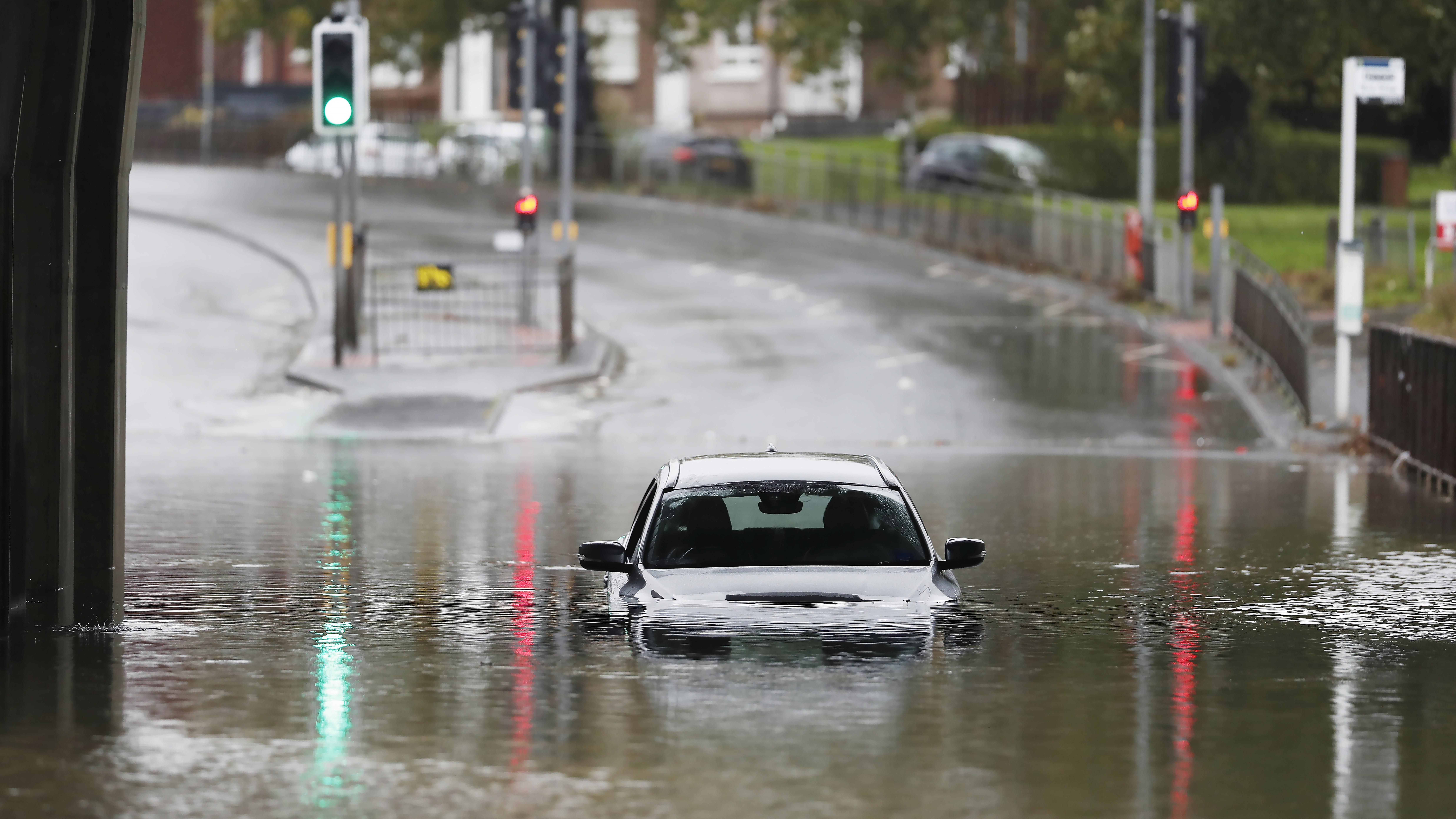
Heavy rainfall accompanying the storms could trigger flash flooding from northern Tennessee through the Ohio Valley, Mid-Atlantic, and southern New England. The threat is expected to shift toward Virginia and the Carolinas on Wednesday.
Forecasters have also issued a Moderate Risk of excessive rainfall for portions of coastal Virginia and North Carolina through Thursday, citing the possibility of slow-moving and repeating thunderstorms capable of producing significant flooding.
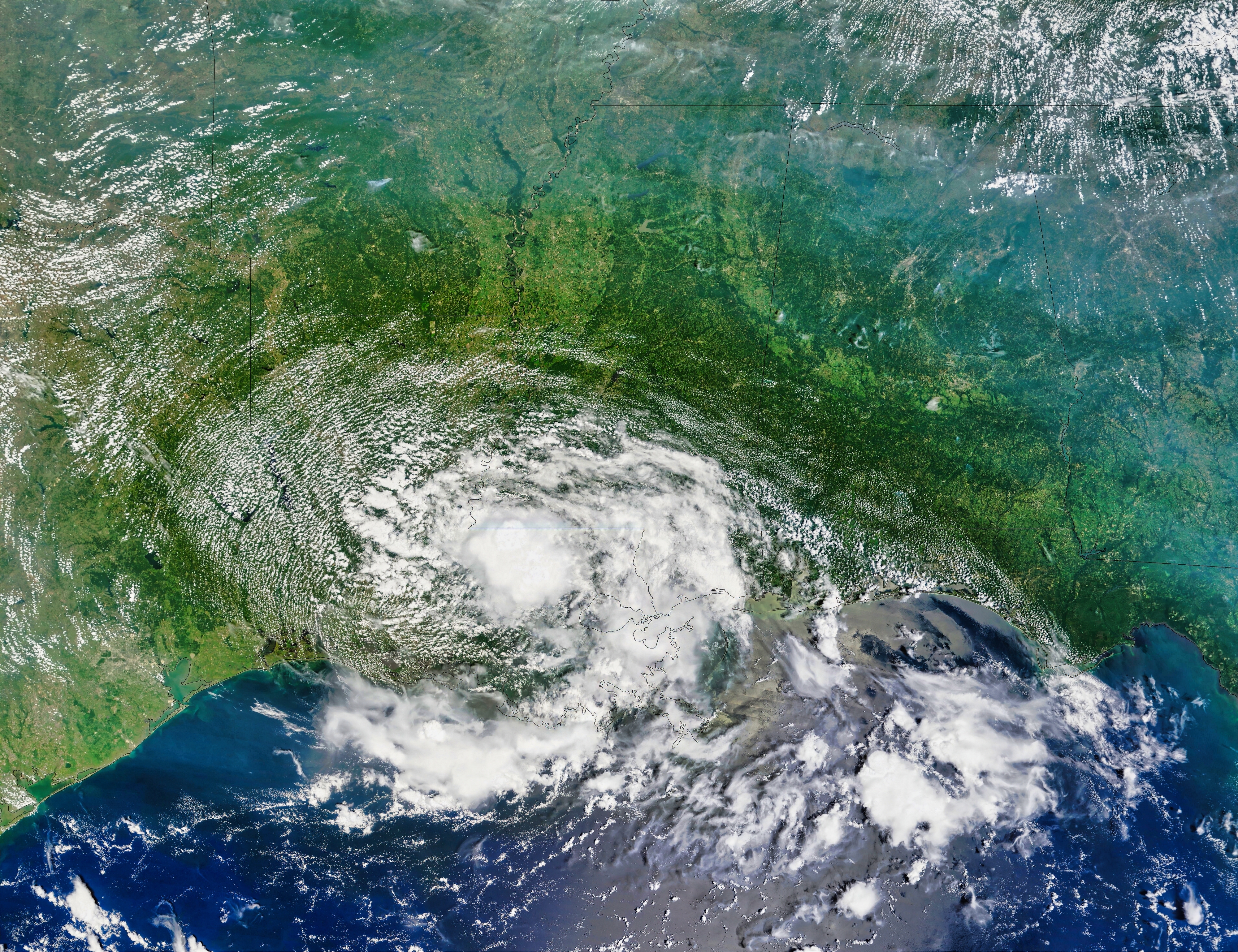 Tropical Storm Bertha over Louisiana. Photo: Shutterstock
Meanwhile, Tropical Storm Bertha is forecast to linger along the central Gulf Coast over the coming days. While the heaviest rainfall is expected to remain offshore, isolated flash flooding, tropical storm conditions, and coastal flooding remain possible along parts of Louisiana and Mississippi. Tropical Storm Warnings and Coastal Flood Warnings are currently in effect for portions of both states.
In the western United States, monsoon activity continues across the Southwest, Four Corners region, and Great Basin. The Weather Prediction Center warned that thunderstorms may bring localized flooding through Thursday morning (July 23) before shifting toward the Great Plains and Lower Missouri Valley.
At the same time, an expanding ridge of high pressure is expected to fuel above-average temperatures across the Northwest and Southern Plains. Forecasters warned that a prolonged and potentially dangerous heatwave could affect much of the central United States through at least early next week.
"Please Turn Around, Don't Drown"
NWS has also issued an important safety reminder as monsoon season brings increased rainfall and flash flood risks across the western United States.
In a social media post, the agency shared a message from Charlie Alvarez, the Tubac Fire District's captain, urging residents and visitors to stay vigilant around flood-prone areas.
"Turn around, don't drown," Alvarez said, emphasizing the dangers of attempting to drive or walk through standing water.
The captain warned that even shallow floodwaters can be hazardous and encouraged the public to avoid crossing flooded roads and low-water crossings during periods of heavy rain.
Hikers and outdoor enthusiasts are also advised to exercise extra caution, particularly on trails near rivers and streams, where water levels can rise rapidly during monsoon storms.
"If you're along the trail, please use extra caution when walking, especially on trails along the river," Alvarez said. "We just want to remind everyone to be safe this monsoon season."