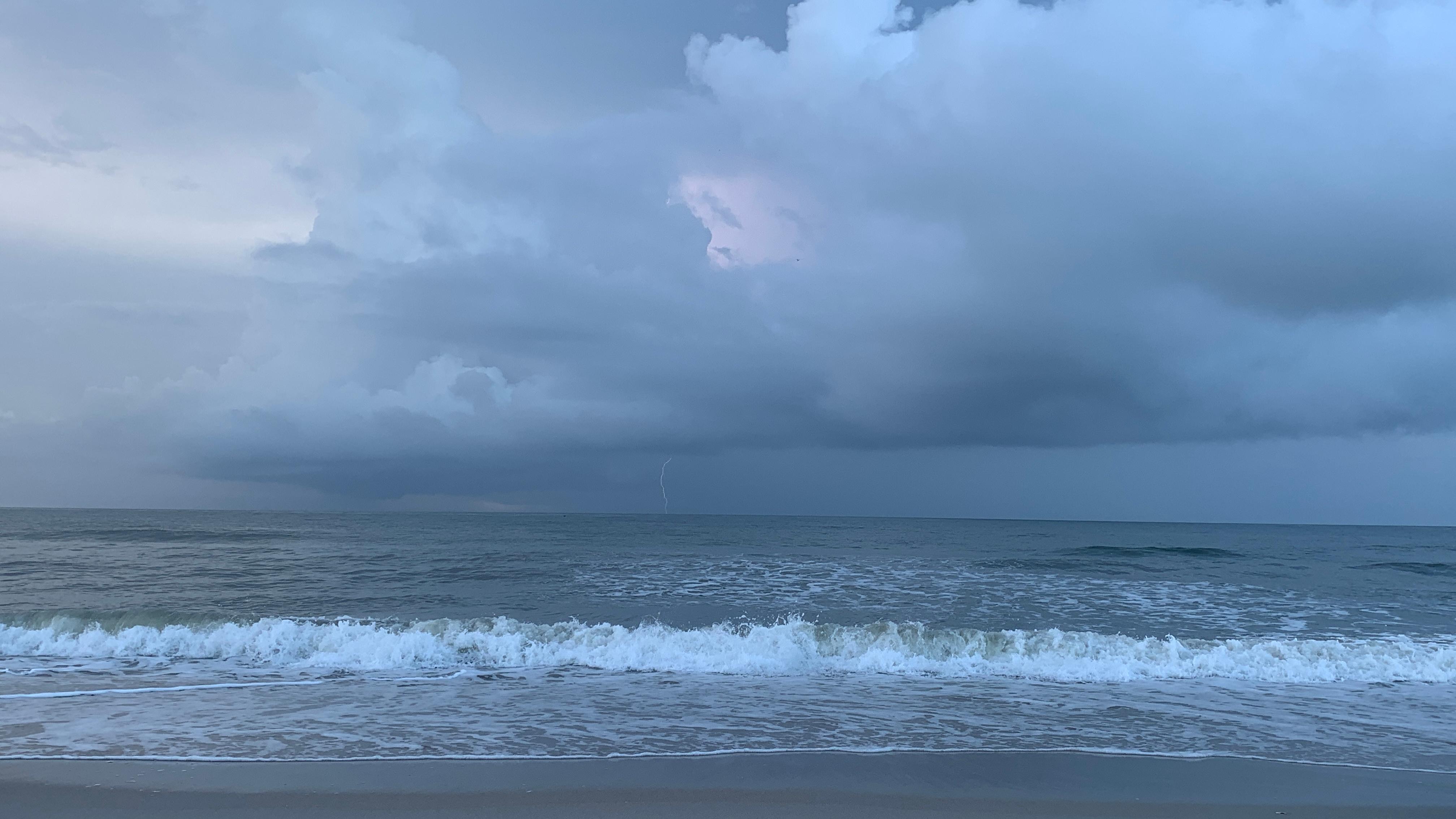
Hurricane Isaias is expected to strengthen into a strong hurricane before reaching the northern Gulf Coast on Friday, with forecasters warning of life-threatening storm surge, damaging winds and heavy rainfall across parts of the southern United States.
The National Weather Service said a Storm Surge Warning is now in effect from the mouth of the Mississippi River to Steinhatchee, Florida. Residents in the affected areas have been urged to follow instructions from local officials and evacuate if ordered to do so.
A Hurricane Warning is also in effect from Ocean Springs, Mississippi, to the Bay and Gulf County line in Florida. Hurricane-force winds are expected across parts of the Florida Panhandle, southern Alabama and southern Mississippi.
Officials are also warning that the storm could cause long-duration power outages in some areas. Residents in the hurricane warning zone are being advised to prepare for the possibility of extended disruptions.
In addition to the coastal threats, Isaias is expected to bring periods of heavy rain to the central U.S. Gulf Coast and much of the Southeast from Friday into the weekend.
The rainfall could trigger flash and urban flooding, while isolated river flooding is also possible.
The National Weather Service is urging residents in areas affected by the warnings to monitor the latest forecasts and follow guidance from local authorities as the storm approaches.
As a reminder, on October 7, the California Office of Emergency Services (Cal OES) said that it was monitoring the possibility of a change in Hurricane Rachel's direction while coordinating preparations with the National Hurricane Center and other emergency agencies.