Storm Pedro continues to batter France, bringing along new snow, strong winds, and the risk of flooding. As of Friday, February 20, 2026, authorities are urging caution, particularly in mountain areas and along the Atlantic coast.
In the northern Alps, heavy snowfall overnight has raised the avalanche risk to very high. The 10-30 cm of snow that fell at mid-altitudes added to an already substantial snowpack. Two significant avalanches were observed near Rivier d'Allemond and Villard Reculas. Another 5-15 cm of snow is expected through late morning, depending on the location.
While the snowfall itself is not unusual, it comes after several periods of intense avalanche activity, meaning avalanche barriers and gullies are already full. Experts warn that extreme caution is needed if traveling or hiking in the mountains today.
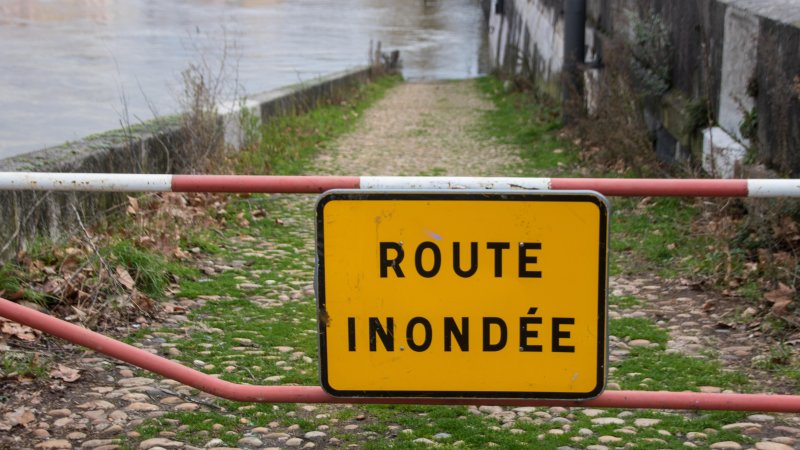
Flooding is also a serious concern. Soil moisture levels across France have reached record highs, the highest since measurements began in 1959. The country has now endured 35 consecutive days of rain, leaving the ground saturated and unable to absorb additional precipitation. As a result, rivers are at risk of overflowing, and storm surges along the coast could cause damage.
Météo-France has issued warnings for several departments. Gironde, Lot-et-Garonne, Maine-et-Loire, and Charente-Maritime remain on the highest alert for flooding. Approximately 20 other departments along the Atlantic coast are under orange alert for strong winds, high waves, and potential storm surge flooding.
Officials describe Storm Pedro as a “non-exceptional winter storm,” but caution is needed because the ground and rivers are already heavily saturated after two previous storms. Winds along the coast and in exposed areas remain strong, with the risk of damaging infrastructure and uprooting trees.
Residents and travelers are advised to stay informed about local alerts, avoid unnecessary travel in affected areas, and follow safety guidance.
In the mountains, anyone venturing outdoors should monitor avalanche bulletins closely, avoid risky slopes, and have winter gear and communication devices on standby. Residents and tourists along the coast and in flood-prone areas are also advised to secure property, avoid flooded roads, and stay alert for sudden changes in conditions.
While calmer weather is expected later this week, the combination of new snow, saturated soil, and strong winds makes Friday particularly dangerous across many regions of France.
